Citizen Engagement Blog
Maptionnaire’s blog is a collection of stories about community engagement. Discover insights and best practices about public participation, latest Maptionnaire tech developments & news, and tips for using Maptionnaire.
.webp)
GIS in urban planning enhances data integration, improves communications, and makes citizen engagement more actionable. More insights inside!

These Maptionnaire updates enable you to engage residents in localized discussions, view your items as a list, and explore answers with Word Clouds.
.jpeg)
Grab these 10 guidelines for inclusive community engagement crafted by industry professionals, planners, and academics.
-min.jpeg)
Find an urban planning podcast from our top 10 list for 2023! Insider tips, best practices, and failures from the industry practitioners.
.jpg)
Anna Broberg of Maptionnaire joins the Urbanistica Podcast to discuss how planners can make cities more suitable for children and teenagers.

Find out why rural planning needs citizen engagement, what the main challenges are, and how to overcome them. Project examples inside!

Maarit Kahila, CEO and co-founder of Maptionnaire, joins the ISOCARP Spotlight podcast to discuss citizen engagement in urban planning.

How can we collaboratively understand and accelerate sustainable rural development? The RUSTIK project, funded by the EU, paves the way.

Maptionnaire has been awarded the Geospatial Innovator of the Year 2023 by Geospatial World! Read on about our way to this milestone.

Grab these community engagement metrics (aka KPIs) to track the quality and impact of participation and improve related processes.

Discover how Finnish planners produce place-based knowledge with citizens for impactful community engagement. What are the key factors for their success?

Here is a quick summary of the webinar: explore tips and action points on outreach planning, reporting, and analysis for citizen engagement in master planning.

Community mapping helps planners gather local knowledge — and design better solutions that serve that community. But how do you organize it effectively?

Read about three solutions that help planners to get relevant input from residents and better integrate the results of public participation in urban planning.

Get to know what public engagement experts think of engagement trends in 2023: from climate change mitigation to early engagement and youth involvement.

Understand the basics of gamification and apply this strategy for increasing user engagement, retention, and loyalty from eCommerce to urban planning.

How to increase the impact of public participation in planning? Read about Finnish municipalities increasing the influence of engagement with a PPGIS platform.

PPGIS tools are used in Varangerfjord to measure public opinion on aquaculture, fish farming, and tourism and the environmental effects of these industries.

A PPGIS study on the Faroe Islands explores economic, social, and environmental conflicts brought around by global industries such as fish farming and tourism.

Maarit Kahila of Maptionnaire and Johanna Palomäki of Lahti joined Smart in The City Podcast. Learn more about what community engagement in a smart city is like!

Conducting a community needs assessment helps you identify problems and service gaps in a community. Grab tips on getting started with the process and tools.

ArcticHubs aims at co-creating successful policies around resource use. Maptionnaire’s PPGIS solution is used in the project as a data collection and stakeholder engagement tool.

Read about the principles of designing community engagement survey questions for getting excellent data and high response rates.

Maptionnairen aamiaistapahtuma kokosi yhteen kaupunkisuunnittelun ja -tutkimuksen ammattilaisia keskustelemaan asukasosallisuudesta.

Find out about the best practices for making GDPR compliant surveys. Here are tips on how to structure your questionnaire and what you should do as a survey-owner.
.jpeg)
What are the types of community engagement? Learn about informative, preparatory, and decision-making participation — examples of engagement projects inside.

Explore the pros and cons of self-made, open-source, and proprietary SaaS community engagement platforms to make an informed choice.

A community engagement platform is software that enables you to run public participation processes. Follow our guide on choosing one!

Struggling with getting stakeholders on board (who doesn't, right)? Grab these 6 winning methods for stakeholder engagement with surveys.

Implement these 12 best practices in survey design to get high response rates and quality data (and not to bore your respondents to death).

Learn from these five participatory budgeting examples from all around the globe: Porto Alegre, Espoo, Chicago, Lahti, and Warsaw.

Participatory budgeting is a process where the public directly decides on how a budget is spent. Read how PB helps you involve residents in shaping their cities.

Read Maarit Kahila's take on representative democracy and the role of technology in it. Maarit is CEO and co-founder of Maptionniare Citizen Engagement Platform.

Read about Maptionnaire's latest improvements: the platform now fills all the requirements of A-level as well as AA-level of the Web Content Accessibility Guidelines (WCAG 2.1.).

To celebrate Maptionnaire’s 10th anniversary, we asked our staff ten questions. Read Gaurab’s Q&A!

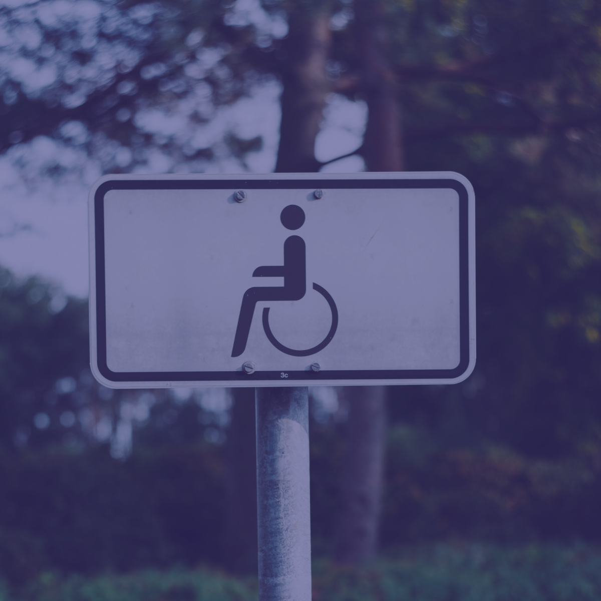
Maptionnaire always strives to ensure that our platform follows the highest accessibility standards and best practices. Discover how we achieve it here.

Pyrimme siihen, että Maptionnaire-palvelu ja sen toiminnallisuudet vastaavat parhaita saavutettavuuskäytänteitä ja noudattavat säädöksiä. Lue lisää täältä!

Learn how the City of Turku ran a pilot 3D participatory planning project that tested the use of 3D maps in community engagement for urban planning.

Leila-Mari Ryynänen and Vesa Sironen have been appointed as the new board members of Mapita, the company behind Maptionnaire Citizen Engagement Platform.

To celebrate Maptionnaire’s 10th anniversary, we asked our staff ten questions. Read Anna’s Q&A

To celebrate Maptionnaire’s 10th anniversary, we asked our staff ten questions. Read Asta’s Q&A!

To celebrate Maptionnaire’s 10th anniversary, we asked our staff ten questions. Read Krista’s Q&A!

To celebrate Maptionnaire’s 10th anniversary, we asked our staff ten questions. Read Jenna’s Q&A!

Watch these community engagement webinars to learn about the best participation tools, methods, and practices. All are available on demand!

Read about Maptionnaire's latest updates: hand drawn layers and shapefile download.

Explore how public participation enhances communication for urban development among diverse stakeholders and residents.

Systemic change, gamification & storytelling, and representation & inclusion — these are the top-3 trends of community engagement in 2021. More in this blog.

Maptionnaire turns 10! Learn about community engagement and urban planning best practices from the leading experts.

Maptionnaire is now available alltogether in 27 languages. Our latest additions are Czech and Armenian — learn more from this article.

What is PPGIS? Read on to explore the pros and cons of PPGIS and how you can improve your public participation activities with PPGIS tools.

Maptionnaire was chosen for the top-50 teams in the 10th Lee Kuan Yew Global Business Plan Competition among over 850 contestants.

What makes a great visual survey? Follow these simple tips to make participation fun and overcome language and literacy barriers.

Find out about three new modules in Maptionnaire Citizen Engagement Platform: Design, Collect & Analyze, Gamified Decision Making, and Webpage Builder.

Find out what moved us when designing the new Maptionnaire Citizen Engagement Platform.

What are the benefits of online community engagement? Read more about the economic and social ROI of digitizing participation.

Discover three principles of public participation together with action points for stepping up your community engaging activities.

Maptonnaire moves from Leaflet to OpenLayers. This will allow us to add features into Maptionnaire that wouldn't have been otherwise feasible.

What is digital public engagement, how does GIS come into the picture, and how can 3D models be used? All answers in our digital public engagement Q&A.

Learn effective online community engagement tips for sustaining work during remote times, including tools, methods, and enhancing virtual meetings.

Learn about the benefits of using Public Participation GIS in transportation planning for gathering valuable data and insights.

How can you increase possibilities of influencing city planning for kids? Read more about workshops for children and youth participation.

Maptionnaire is used for locating bicycle accidents sites via a map-based survey in Zurich. These insights are then used in transportation planning.

What is a community engagement workshop? And how can digital participation tools make it more fun and insightful? Discover 5 ideas inside!

We got together with our customers and share our experiences, best practices, and even war stories with Maptionnaire. Here are some fun memories from our June event.

Tuomaristo arvosti erityisesti Maptionnairen innovativiista tuotetta ja substanssiosaamista kaupunkisuunnittelussa ja vahvaa kasvua.

Kaavapalautejärjestelmämme suoraviivaistaa kaavoitukseen liittyvän asukaspalautteen keräämistä, tallentamista ja hallintaa kaupunkisuunnitteluhankkeissa. Lue lisää!

Learn about the Automized Public Hearing Process that streamlines the flow of gathering, transcribing, and storing resident input in planning projects.

Why is map-based collaboration integral to urban planning? Read a summary of a recent study about map-based surveys and public participation.

Tutustu tekemämme tutkimuksen löydöksiin karttapohjaisten osallistumismenetelmien roolista nykypäivän suunnittelussa. Lue tästä!

Maptionnaire is a part of Nordregio’s catalog of cases that embody the values of environment, equality, openness, and efficiency. Read it here!

You can now upload your documents into Maptionnaire and make them easily accessible in surveys via buttons. Learn more from this article!

What is participatory planning and why do PPGIS tools help engage residents in urban planning? Read more!

As of 2014, we have annually held a get together with the Maptionnaire Community. Get a recap of project experiences, ideas, and many stories and laughs.

Maptionnaire is a GDPR-compliant citizen engagement platform that provides you with tools for designing secure and accessible surveys and webpages.

Discover how community participation impacts decision-making in built-heritage conservation, showcasing European crowdsourcing examples.

Discover how participatory mapping engages the community of São Paulo in urban planning, creating inclusive and sustainable spaces.

Don’t know how to get people to take a survey? Read these tips on using social sharing to get valid data and increase response rates.

Find out the versatile functions of the citizen participation platform for engaging residents at different phases of the urban planning process.

Getting relevant pedestrian movement data is a key to planning walkable and liveable cities. Discover digital tools that help source walkability data.

Learn how to make an interactive map survey in four steps. Such a map-based questionnaire will support your community engagement and participatory planning process.

Geospatial visualizations are used in town planning and community engagement. Learn how to make an interactive map to visualize your spatial data with Carto.

Urban planning projects need to include a public participation plan. Learn how to design and implement community engagement with PPGIS tools.

Here are 7 proven steps to getting people to participate in community engagement activities. Start involving more people in your projects!

Discover the advantages of digital community engagement methods for getting people involved in the future development of their surroundings.