LandDesign Engages 10x More Community Members
Maptionnaire in action
See our map-based questionnaires (i.e. maptionnaires) in action through our quick example surveys, showcasing our different map-based question types. Book a demo if you’re interested in learning more about the platform.

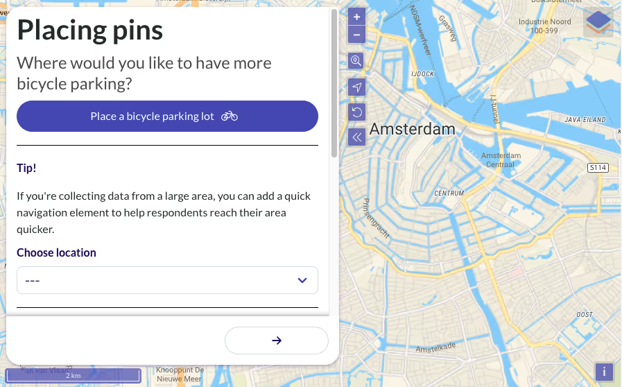
Map Places
Respondents can answer your questions by pinning points on a map, enabling you to collect insights about the places that are important to the community.
In this example, you can place pins on the map where you would like to have more bicycle parking.
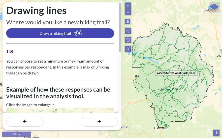
Map Routes
Respondents can answer your questions by drawing lines on a map, enabling you to collect insights about the routes that are important to the community.
In this example, you can draw lines on the map where you would like to have new hiking trails.
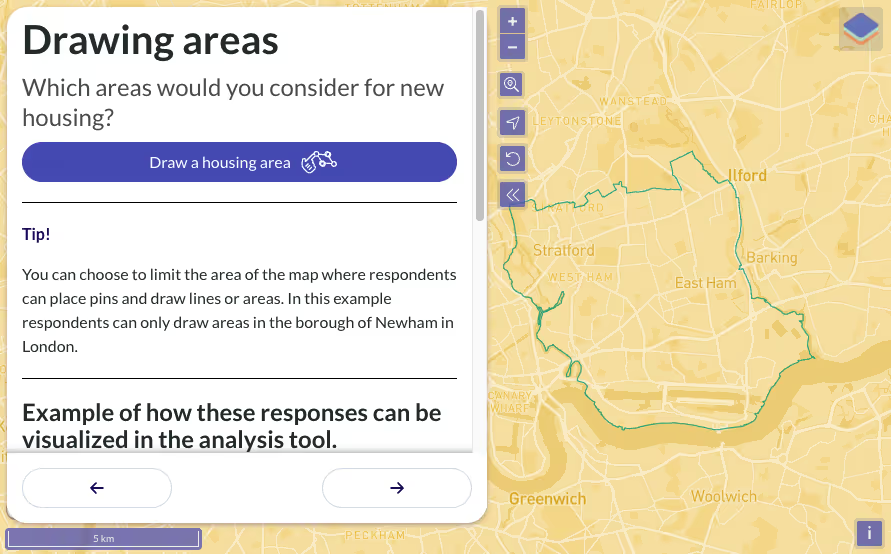
Map Areas
Respondents can answer your questions by drawing polygons on a map, enabling you to collect insights about the areas that are important to the community.
In this example, you can draw areas on the map where you think more housing should be developed.
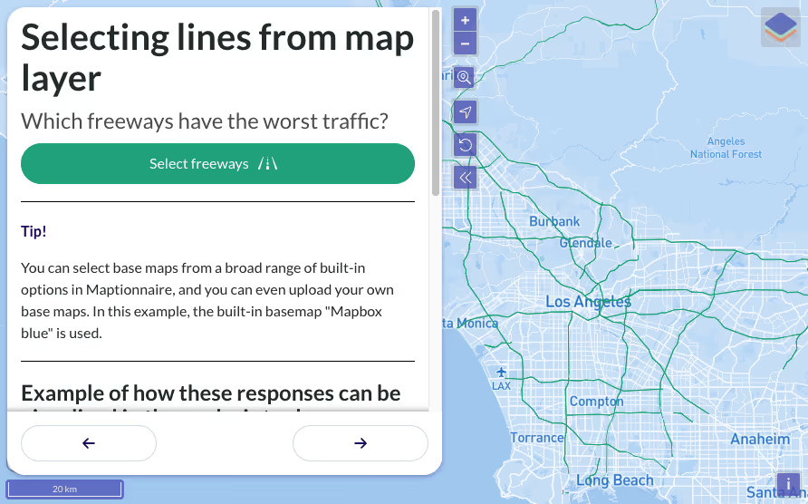
Select Map
Respondents can also answer your questions by selecting from predefined places, routes or areas added to the map as a map layer. This enables you to collect insights about specific community resources.
In this example, you can select the freeways with the worst traffic by selecting from the freeways added to the map.
Pop-up Map
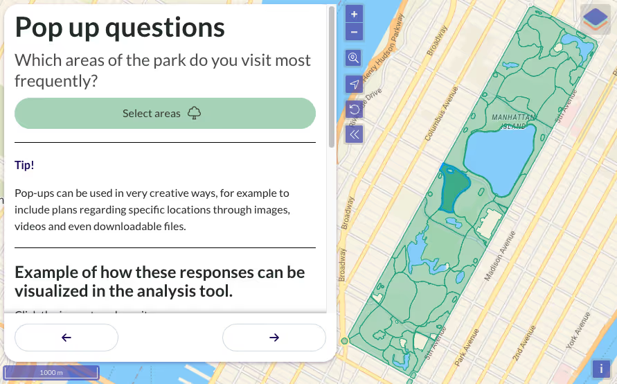
Pop-ups with follow-up questions can add depth to map-based responses, enabling you collect even more detailed insights.
In this example, you are asked some follow up questions when selecting the areas of a park you frequently visit.
Geobudgeting
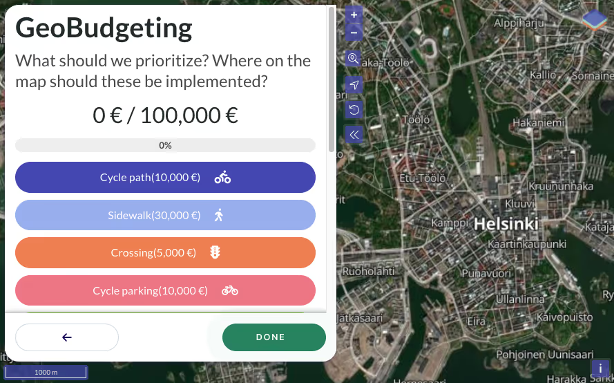
Respondents can allocate a set budget by selecting budget items and placing them on the map. This enables you to collect valuable insights about the community’s priorities.
In this example, you can prioritize between various mobility-related development options with a total budget of 100,000€.



.jpeg)
.webp)

.webp)


.webp)
.png)


